Nord-Pas de Calais Mining Basin
Coal mining regions in FranceGeography of Hauts-de-FranceHauts-de-France geography stubsMining stubsWorld Heritage Sites in France

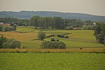
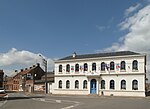
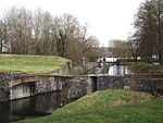
The Nord-Pas-de-Calais Mining Basin is a mining basin in Northern France that stretches across the Nord and Pas-de-Calais departments. The region is famous for its long history of coal extraction and its testimony to a significant period in the history of industrialisation in Europe, and as a result it was inscribed on the UNESCO World Heritage List in 2012. This area has been shaped by three centuries of coal extraction from the late 17th century through the 20th century, and demonstrates the evolution of coal mining techniques and worker conditions during that time.
Excerpt from the Wikipedia article Nord-Pas de Calais Mining Basin (License: CC BY-SA 3.0, Authors, Images).Nord-Pas de Calais Mining Basin
Rue des Bruyères, Valenciennes
Geographical coordinates (GPS) Address Nearby Places Show on map
Geographical coordinates (GPS)
| Latitude | Longitude |
|---|---|
| N 50.4625 ° | E 3.5461111111111 ° |
Address
Rue des Bruyères
Rue des Bruyères
59199 Valenciennes
Hauts-de-France, France
Open on Google Maps


