Col de la République
Landforms of Auvergne-Rhône-AlpesLandforms of Loire (department)Mountain passes of Auvergne-Rhône-AlpesMountain passes of the Massif Central

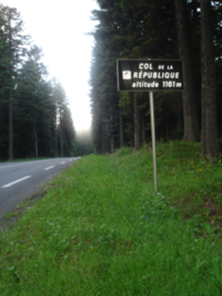
The Col de la République or Col de Grand Bois (1,161 m (3,809 ft)) is a mountain pass in the Pilat massif within the Pilat Regional Natural Park in the Loire department of the Rhône-Alpes region in southern France. Located on the D1082 (ex-RN 82 ) in the commune of Saint-Genest-Malifaux, it connects Saint-Étienne with Annonay in the Rhône valley. The road was constructed in 1830 and the col has an altitude of 1,161 metres. It was the first climb on the first Tour de France in 1903, but was the scene of notorious violence in 1904 that involved fighting and officials firing gunshot warnings. It has been part of the route on 13 occasions.
Excerpt from the Wikipedia article Col de la République (License: CC BY-SA 3.0, Authors, Images).Col de la République
Route du Col de la République, Saint-Étienne
Geographical coordinates (GPS) Address Nearby Places Show on map
Geographical coordinates (GPS)
| Latitude | Longitude |
|---|---|
| N 45.332777777778 ° | E 4.4802777777778 ° |
Address
Route du Col de la République
Route du Col de la République
42660 Saint-Étienne
Auvergne-Rhône-Alpes, France
Open on Google Maps


