Geissflue
Basel-Landschaft–Solothurn borderMountains of Basel-LandschaftMountains of SwitzerlandMountains of Switzerland under 1000 metresMountains of the Jura ... and 3 more
Mountains of the canton of SolothurnSwitzerland geography stubsSwitzerland mountain stubs
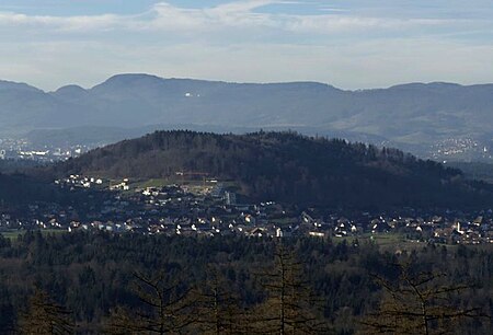
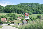
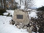
The Geissflue is a hill of the eastern Jura Mountains, located between the Swiss cantons of Basel-Landschaft and Solothurn. The border with the canton of Aargau runs east of the summit on the Geissfluegrat. The Geissflue has an elevation of 962 metres above sea level. It is the easternmost summit above 900 metres in the Jura Mountains.
Excerpt from the Wikipedia article Geissflue (License: CC BY-SA 3.0, Authors, Images).Geissflue
Schafmattstrasse, Bezirk Gösgen
Geographical coordinates (GPS) Address Nearby Places Show on map
Geographical coordinates (GPS)
| Latitude | Longitude |
|---|---|
| N 47.419583333333 ° | E 7.9570277777778 ° |
Address
Geissflue
Schafmattstrasse
4655 Bezirk Gösgen
Solothurn, Switzerland
Open on Google Maps
