Broxbourne
BroxbourneFormer civil parishes in HertfordshireHoddesdonTowns in Hertfordshire

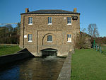
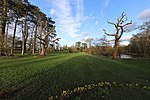
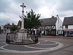
Broxbourne is a town in the Borough of Broxbourne in Hertfordshire, England, with a population of 15,303 at the 2011 Census. It is located to the south of Hoddesdon and to the north of Cheshunt, 17 miles (27 km) north of London. The town is near the River Lea, which forms the boundary with Essex, and 5 miles (8.0 km) north of the M25 motorway. To the west of the town are Broxbourne Woods, a national nature reserve. The Prime Meridian runs just east of Broxbourne.
Excerpt from the Wikipedia article Broxbourne (License: CC BY-SA 3.0, Authors, Images).Broxbourne
Mandeville Close,
Geographical coordinates (GPS) Address Nearby Places Show on map
Geographical coordinates (GPS)
| Latitude | Longitude |
|---|---|
| N 51.7495 ° | E -0.0216 ° |
Address
Mandeville Close 14
EN10 7PN
England, United Kingdom
Open on Google Maps


