Reichsgau Wartheland

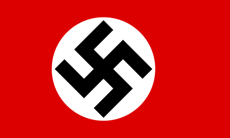
The Reichsgau Wartheland (initially Reichsgau Posen, also: Warthegau) was a Nazi German Reichsgau formed from parts of Polish territory annexed in 1939 during World War II. It comprised the region of Greater Poland and adjacent areas. Parts of Warthegau matched the similarly named pre-Versailles Prussian province of Posen. The name was initially derived from the capital city, Posen (Poznań), and later from the main river, Warthe (Warta). During the Partitions of Poland from 1793, the bulk of the area had been annexed by the Kingdom of Prussia until 1807 as South Prussia. From 1815 to 1849, the territory was within the autonomous Grand Duchy of Posen, which was the Province of Posen until Poland was re-established in 1918–1919 following World War I. The area is currently the Greater Poland Voivodeship.
Excerpt from the Wikipedia article Reichsgau Wartheland (License: CC BY-SA 3.0, Authors, Images).Reichsgau Wartheland
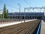
Księdza Jakuba Wujka, Poznań Wilda
Geographical coordinates (GPS) Address Phone number Website Nearby Places Show on map
Geographical coordinates (GPS)
| Latitude | Longitude |
|---|---|
| N 52.4 ° | E 16.916667 ° |
Address
Parking Poznań Główny
Księdza Jakuba Wujka
61-581 Poznań, Wilda
Greater Poland Voivodeship, Poland
Open on Google Maps


