St Katharine Docks
Accuracy disputes from July 2022EngvarB from May 2017Geography of the London Borough of Tower HamletsHistory of the London Borough of Tower HamletsLondon docks ... and 6 more
Marinas in EnglandPort of LondonRedeveloped ports and waterfronts in LondonTourist attractions in LondonTransport infrastructure completed in 1828Works of Thomas Telford

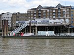
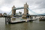
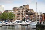
St Katharine Docks is a former dock and now a mixed-used district in Central London, in the London Borough of Tower Hamlets and within the East End. It lies on the north bank of the River Thames, immediately downstream of the Tower of London and Tower Bridge. From 1828 to 1968, it was one of the commercial docks that made up the Port of London. It is in the redevelopment zone known as Docklands and is now a popular housing and leisure complex.
Excerpt from the Wikipedia article St Katharine Docks (License: CC BY-SA 3.0, Authors, Images).St Katharine Docks
Star Place, London Wapping
Geographical coordinates (GPS) Address Nearby Places Show on map
Geographical coordinates (GPS)
| Latitude | Longitude |
|---|---|
| N 51.507006 ° | E -0.071476 ° |
Address
St Katharine Docks
Star Place
E1W 1AF London, Wapping
England, United Kingdom
Open on Google Maps


