Chepstow Port Wall
ChepstowCity walls in the United KingdomGrade I listed buildings in MonmouthshireScheduled monuments in MonmouthshireUse British English from March 2017

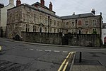
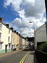
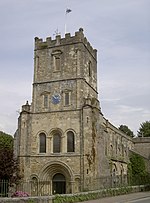
The Port Wall in Chepstow, Monmouthshire, Wales, is a late thirteenth century stone wall, which was constructed for the twin purposes of defence and tax collection by permitting users of the town's market only one point of access through the wall at the Town Gate. The wall originally formed a semi-circle extending for some 1,100 metres (3,600 ft), roughly southwards from Chepstow Castle to the River Wye. It enclosed an area of 53 hectares (130 acres), including the entire town and port as it existed at that time. Substantial sections of the wall remain intact, and both the Port Wall and the Town Gate are Grade I listed buildings. The Port Wall is a Scheduled monument.
Excerpt from the Wikipedia article Chepstow Port Wall (License: CC BY-SA 3.0, Authors, Images).Chepstow Port Wall
Mount Pleasant,
Geographical coordinates (GPS) Address Nearby Places Show on map
Geographical coordinates (GPS)
| Latitude | Longitude |
|---|---|
| N 51.640153 ° | E -2.67571 ° |
Address
Mount Pleasant
Mount Pleasant
NP16 5DJ , Chepstow
Wales, United Kingdom
Open on Google Maps


