Striguil
History of MonmouthshireMedieval Wales
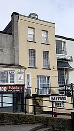
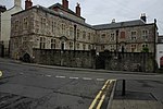
Striguil or Strigoil is the name that was used from the 11th century until the late 14th century for the port and Norman castle of Chepstow, on the Welsh side of the River Wye which forms the boundary with England. The name was also applied to the Marcher lordship which controlled the area in the period between the Norman conquest and the formation of Monmouthshire under the Laws in Wales Acts 1535–1542.
Excerpt from the Wikipedia article Striguil (License: CC BY-SA 3.0, Authors).Striguil
Mount Pleasant,
Geographical coordinates (GPS) Address Nearby Places Show on map
Geographical coordinates (GPS)
| Latitude | Longitude |
|---|---|
| N 51.638 ° | E -2.678 ° |
Address
Mount Pleasant
Mount Pleasant
NP16 5PU , Chepstow
Wales, United Kingdom
Open on Google Maps


