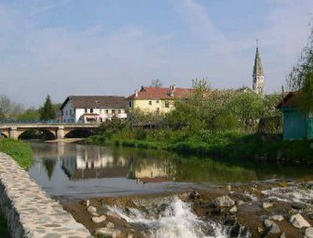
Savoureuse
France river stubsRivers of Bourgogne-Franche-ComtéRivers of DoubsRivers of FranceRivers of the Territoire de Belfort ... and 1 more
Tributaries of the Doubs

The Savoureuse is the principal river running through the Territoire de Belfort. Its source is in the Ballon d'Alsace at 1190m altitude. From here, it runs through the city of Belfort to the town of Sochaux where it joins the Allan, a tributary to the Doubs. It is 41.2 km (25.6 mi) long.
Excerpt from the Wikipedia article Savoureuse (License: CC BY-SA 3.0, Authors, Images).Savoureuse
EV6, Montbéliard
Geographical coordinates (GPS) Address Nearby Places Show on map
Geographical coordinates (GPS)
| Latitude | Longitude |
|---|---|
| N 47.5109 ° | E 6.8489 ° |
Address
EV6
25460 Montbéliard
Bourgogne-Franche-Comté, France
Open on Google Maps


