McPherson Ridge

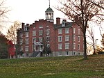
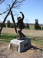
McPherson Ridge is a landform used for military engagements during the 1863 Battle of Gettysburg, when the I Corps of the Union Army had a headquarters on the ridge and was defeated by the Confederate division of Major General Henry Heth. The ridge has terrain above ~530 ft (160 m) and is almost entirely a federally protected area except for township portions at the southern end and along Pennsylvania Route 116, including a PennDOT facility. The northern end is a slight topographic saddle point on the west edge of Oak Ridge, and summit areas above 560 ft (170 m) include 4 on/near the Lincoln Highway, a broader summit south of the Fairfield Road, and the larger plateau at the northern saddle.
Excerpt from the Wikipedia article McPherson Ridge (License: CC BY-SA 3.0, Authors, Images).McPherson Ridge
Chambersburg Road,
Geographical coordinates (GPS) Address Nearby Places Show on map
Geographical coordinates (GPS)
| Latitude | Longitude |
|---|---|
| N 39.837 ° | E -77.2514 ° |
Address
McPherson Barn
Chambersburg Road
17222
Pennsylvania, United States
Open on Google Maps


