Burgh Heath
Reigate and BansteadVillages in Surrey

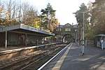
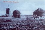
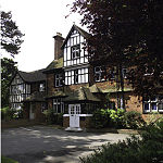
Burgh Heath ( bur HEETH or, especially amongst older residents, BURR-ə HEETH) is a residential neighbourhood with a remnant part of the Banstead Commons of the same name. Immediately north of Upper Kingswood on the A217 road, it adjoins part of Banstead to the north. The north of the area is more specifically called Great Burgh, but the terms are largely interchangeable.
Excerpt from the Wikipedia article Burgh Heath (License: CC BY-SA 3.0, Authors, Images).Burgh Heath
Brighton Road, Reigate and Banstead
Geographical coordinates (GPS) Address Nearby Places Show on map
Geographical coordinates (GPS)
| Latitude | Longitude |
|---|---|
| N 51.305 ° | E -0.22 ° |
Address
Brighton Road
Brighton Road
KT20 5NW Reigate and Banstead
England, United Kingdom
Open on Google Maps


