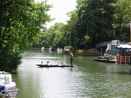
The Isis
Christ Church Meadow, OxfordGeography of OxfordIsisRivers of OxfordshireRowing in Oxford ... and 5 more
Rowing venues in the United KingdomTerminology of the University of OxfordThames drainage basinTourist attractions in OxfordUse British English from October 2017

"The Isis" ( EYE-siss) is an alternative name for the River Thames, used from its source in the Cotswolds until it is joined by the Thame at Dorchester in Oxfordshire. It derives from the ancient name for the Thames, Tamesis, which in the Middle Ages was believed to be a combination of "Thame" and "Isis". Notably, the Isis flows through the city of Oxford.
Excerpt from the Wikipedia article The Isis (License: CC BY-SA 3.0, Authors, Images).The Isis
St Aldate's, Oxford City Centre
Geographical coordinates (GPS) Address Nearby Places Show on map
Geographical coordinates (GPS)
| Latitude | Longitude |
|---|---|
| N 51.7429 ° | E -1.2497 ° |
Address
Christ Church Meadow
St Aldate's
OX1 1LY Oxford, City Centre
England, United Kingdom
Open on Google Maps


