Domleschg (valley)
RothenbrunnenThusisValleys of Graubünden
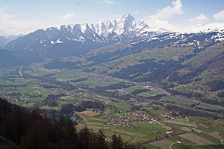
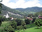
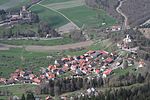
The Domleschg (Romansh: Tumleastga) is a valley in Graubünden in Switzerland. Geographically, the name "Domleschg" covers both sides of the valley. Politically, the villages on the left bank of the Posterior Rhine form the Kreis (sub-district) of Thusis and those on the right bank form the Kreis of Domleschg. Thusis is the main village in the valley. The northernmost locality is Rothenbrunnen, the southernmost is Sils.
Excerpt from the Wikipedia article Domleschg (valley) (License: CC BY-SA 3.0, Authors, Images).Domleschg (valley)
Pardisla, Domleschg
Geographical coordinates (GPS) Address Nearby Places Show on map
Geographical coordinates (GPS)
| Latitude | Longitude |
|---|---|
| N 46.7507 ° | E 9.4331 ° |
Address
Pardisla
Pardisla
7415 Domleschg
Grisons, Switzerland
Open on Google Maps
