Awbridge
EngvarB from September 2023Hampshire geography stubsOpenDomesdayTest ValleyVillages in Hampshire

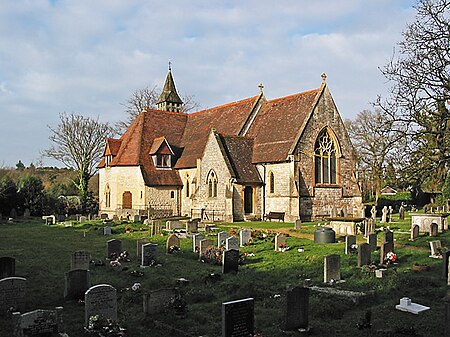
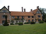
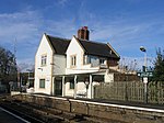
Awbridge is a small village and civil parish in the Test Valley district of Hampshire, England, about three miles northwest of Romsey, and near the River Test. According to the 2001 census the parish, which includes the villages of Awbridge, Upper Ratley and Lower Ratley, had a population of 695, increasing to 712 at the 2011 Census. It is within walking distance of Kimbridge, Dunbridge and Mottisfont, with Dunbridge providing a railway link to both Salisbury (to the north west) and Southampton (to the south).
Excerpt from the Wikipedia article Awbridge (License: CC BY-SA 3.0, Authors, Images).Awbridge
Awbridge Hill, Test Valley
Geographical coordinates (GPS) Address Nearby Places Show on map
Geographical coordinates (GPS)
| Latitude | Longitude |
|---|---|
| N 51.013396 ° | E -1.530735 ° |
Address
Awbridge Hill
Awbridge Hill
SO51 0HF Test Valley
England, United Kingdom
Open on Google Maps


