Saint-Herblain
Communes of Loire-AtlantiquePages with disabled graphs

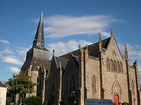
Saint-Herblain (French pronunciation: [sɛ̃t‿ɛʁblɛ̃] (listen); Breton: Sant-Ervlan, pronounced [ˈsãnt ɛrvlãn]) is a commune in the Loire-Atlantique department, administrative region of Pays de la Loire (Brittany as historical region), France.It is the largest suburb of the city of Nantes, and lies adjacent to its west side.
Excerpt from the Wikipedia article Saint-Herblain (License: CC BY-SA 3.0, Authors, Images).Saint-Herblain
Boulevard François Mitterrand, Nantes
Geographical coordinates (GPS) Address Nearby Places Show on map
Geographical coordinates (GPS)
| Latitude | Longitude |
|---|---|
| N 47.2122 ° | E -1.6497 ° |
Address
École élémentaire publique Jacqueline Auriol
Boulevard François Mitterrand
44800 Nantes, Bourg Centre
Pays de la Loire, France
Open on Google Maps


