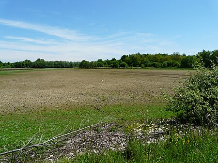
Dombes
DombesFormer provinces of FranceGeography of AinPages including recorded pronunciationsPages with French IPA

The Dombes (French pronunciation: [dɔ̃b] ; Arpitan: Domba) is an area in eastern France, once an independent municipality, formerly part of the province of Burgundy, and now a district comprised in the department of Ain, and bounded on the west by the Saône River, on the south by the Rhône, on the east by the Ain and on the north by the district of Bresse.
Excerpt from the Wikipedia article Dombes (License: CC BY-SA 3.0, Authors, Images).Dombes
Route de Glareins, Bourg-en-Bresse
Geographical coordinates (GPS) Address Nearby Places Show on map
Geographical coordinates (GPS)
| Latitude | Longitude |
|---|---|
| N 45.966666666667 ° | E 5 ° |
Address
Route de Glareins
Route de Glareins
01330 Bourg-en-Bresse
Auvergne-Rhône-Alpes, France
Open on Google Maps


