Beecroft Peninsula

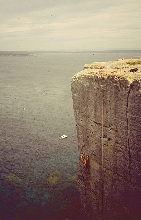
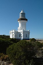
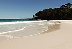
Beecroft Peninsula is the northern headland of Jervis Bay, on Australia's east coast. On the western and southern sides of the peninsula steep sandstone cliffs rise out of the ocean, up to 91 metres at its southernmost point, Point Perpendicular. White sandy beaches are found along the northern, eastern and southern sides interspersed with numerous intertidal reefs. The Beecroft Peninsula encompasses an area of about 5250 hectares just south of the town of Currarong, about 200 kilometres south of Sydney. The historic Point Perpendicular Lighthouse, and its grounds, constructed in 1899 at Point Perpendicular, is the southern tip of the peninsula at the northern entrance to Jervis Bay. A large part of the Beecroft Peninsula, about 4200 hectares, is under the administration of the Australian Defence Force for use as a live-firing range called the Beecroft Weapon Range. Access to this weapons range is restricted to the public at certain times.
Excerpt from the Wikipedia article Beecroft Peninsula (License: CC BY-SA 3.0, Authors, Images).Beecroft Peninsula
Lighthouse Road, Shoalhaven City Council
Geographical coordinates (GPS) Address Nearby Places Show on map
Geographical coordinates (GPS)
| Latitude | Longitude |
|---|---|
| N -35.04349 ° | E 150.80521 ° |
Address
Lighthouse Road
Lighthouse Road
Shoalhaven City Council
New South Wales, Australia
Open on Google Maps


