Koloděje
Districts of PraguePrague geography stubs

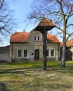
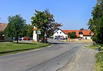
Koloděje is a municipal district (městská část) and cadastral area (katastrální území) in Prague. It is located in the eastern part of the city. As of 2021, there were 1,626 inhabitants living in Koloděje. The first written record of Koloděje is from the 13th century. The village became part of Prague in 1974.
Excerpt from the Wikipedia article Koloděje (License: CC BY-SA 3.0, Authors, Images).Koloděje
Rohenická, Prague Koloděje
Geographical coordinates (GPS) Address Nearby Places Show on map
Geographical coordinates (GPS)
| Latitude | Longitude |
|---|---|
| N 50.063055555556 ° | E 14.640833333333 ° |
Address
Rohenická
190 16 Prague, Koloděje
Prague, Czechia
Open on Google Maps


