Chaussée de Charleroi
Belgium geography stubsBelgium transport stubsCity of BrusselsEurope road stubsSaint-Gilles, Belgium ... and 2 more
Streets in BrusselsUse British English from January 2022

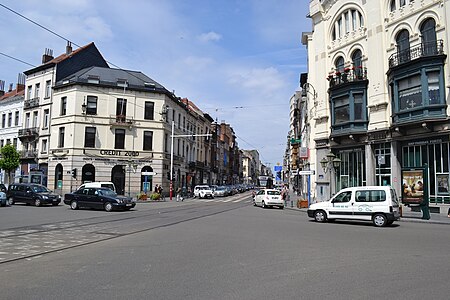
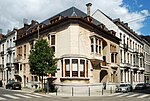
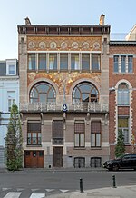
The Chaussée de Charleroi (French) or Charleroisesteenweg (Dutch) is a major street in Brussels, Belgium, running through the municipalities of Saint-Gilles and the City of Brussels. It connects the Place Stéphanie/Stefanieplein in the City of Brussels to the Ma Campagne crossroad in Saint-Gilles. It forms the N261 road with the Avenue Brugmann/Brugmannlaan, the Rue de Stalle/Stallestraat and the Rue Prolongée de Stalle/Verlengde Stallestraat. It is named after the city of Charleroi (Wallonia). Many bars, restaurants, hotels and shops are located on the Chaussée de Charleroi. The Brussels tram routes 92 and 97 also run on this street.
Excerpt from the Wikipedia article Chaussée de Charleroi (License: CC BY-SA 3.0, Authors, Images).Chaussée de Charleroi
Chaussée de Charleroi - Charleroise Steenweg,
Geographical coordinates (GPS) Address Nearby Places Show on map
Geographical coordinates (GPS)
| Latitude | Longitude |
|---|---|
| N 50.828611111111 ° | E 4.3555555555556 ° |
Address
DéFi
Chaussée de Charleroi - Charleroise Steenweg 127
1060
Belgium
Open on Google Maps


