Ible
Derbyshire DalesDerbyshire geography stubsHamlets in DerbyshireTowns and villages of the Peak District

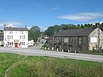
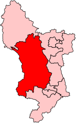
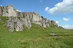
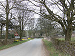
Ible (pronounced 'eyebull', or 'ib-ull') is a hamlet in Derbyshire, England, just within the Peak District National Park.It is near the Via Gellia valley, the historic market town of Wirksworth and village of Bonsall, and is on the route of the Limestone Way and the Peak District Boundary Walk.The name of the hamlet is derived from the Old English for "Ibba's Hollow".
Excerpt from the Wikipedia article Ible (License: CC BY-SA 3.0, Authors, Images).Ible
Main Road, Derbyshire Dales
Geographical coordinates (GPS) Address Nearby Places Show on map
Geographical coordinates (GPS)
| Latitude | Longitude |
|---|---|
| N 53.111 ° | E -1.63 ° |
Address
Main Road
DE4 4HS Derbyshire Dales
England, United Kingdom
Open on Google Maps


