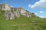
Ivonbrook Grange

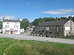
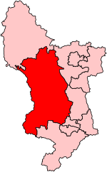
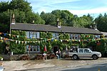
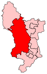
Ivonbrook Grange is a civil parish within the Derbyshire Dales district, in the county of Derbyshire, England. Largely rural, Ivonbrook Grange's population is reported with the population of neighbouring parishes for a total of 180 residents in 2011. It is 130 miles (210 km) north west of London, 15 miles (24 km) north west of the county city of Derby, and 3+1⁄2 miles (5.6 km) south west of the nearest market town of Matlock. Ivonbrook Grange is wholly within the Peak District national park on its southern edge, and shares a border with the parishes of Aldwark, Bonsall, Brassington, Ible as well as Winster. There is one listed structure in Ivonbrook Grange.
Excerpt from the Wikipedia article Ivonbrook Grange (License: CC BY-SA 3.0, Authors, Images).Ivonbrook Grange
B5056, Derbyshire Dales Ivonbrook Grange CP
Geographical coordinates (GPS) Address Nearby Places Show on map
Geographical coordinates (GPS)
| Latitude | Longitude |
|---|---|
| N 53.121 ° | E -1.641 ° |
Address
B5056
DE4 2PE Derbyshire Dales, Ivonbrook Grange CP
England, United Kingdom
Open on Google Maps
