Sülz
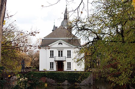
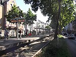
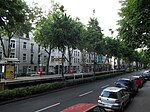
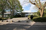
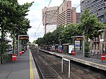
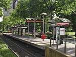
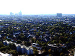
Sülz (German pronunciation: [ˈzʏlts]; Kölsch: Sölz [zølts²]) is a municipal part of Cologne, Germany and part of the district of Lindenthal. Sülz lies on Luxemburger Straße between Lindenthal and Klettenberg. Sülz has 35.475 inhabitants (as of 31 December 2008) and covers an area of 5,17 km2 (pop. density 6.862 inhabitants/km2). The name Sülz goes back to Sulpece, first mentioned in 1145 as a possession of the Church of St. Pantaleon. The 12th century Weißhaus (white house) is a water castle and the oldest building in Sülz. The district is served by Cologne Stadtbahn lines 9 along its North-West, 18 in its South-East and 13 crossing them in the South of Sülz. It hosts some of the eastmost premises of the University, just at and outside the edge of main campus.
Excerpt from the Wikipedia article Sülz (License: CC BY-SA 3.0, Authors, Images).Sülz
Berrenrather Straße, Cologne Sülz (Lindenthal)
Geographical coordinates (GPS) Address Nearby Places Show on map
Geographical coordinates (GPS)
| Latitude | Longitude |
|---|---|
| N 50.9175 ° | E 6.9241666666667 ° |
Address
Berrenrather Straße 270
50937 Cologne, Sülz (Lindenthal)
North Rhine-Westphalia, Germany
Open on Google Maps
