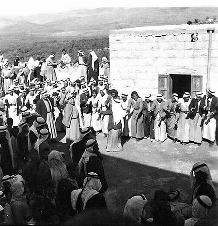
Mi'ar
Arab villages depopulated during the 1948 Arab–Israeli WarDistrict of AcrePages with non-numeric formatnum argumentsWikipedia extended-confirmed-protected pages

Mi'ar (Arabic: ميعار), was a Palestinian village located 17.5 kilometers east of Acre. Its population in 1945 was 770. The Crusaders referred to it as "Myary". By the 19th century, during Ottoman rule, it was a large Muslim village. The village was a center of Palestinian Arab rebel operations during the 1936–39 Arab revolt in Palestine against British rule and consequently the village was completely dynamited by the British. Mi'ar was later restored, but it was depopulated by Israeli forces during the 1948 Arab-Israeli War. The Jewish communities of Atzmon, Ya'ad and Manof are located on former village land.
Excerpt from the Wikipedia article Mi'ar (License: CC BY-SA 3.0, Authors, Images).Mi'ar
Misgav Regional Council
Geographical coordinates (GPS) Address Nearby Places Show on map
Geographical coordinates (GPS)
| Latitude | Longitude |
|---|---|
| N 32.874166666667 ° | E 35.246388888889 ° |
Address
2014200 Misgav Regional Council
North District, Israel
Open on Google Maps


