Belluton
Villages in Bath and North East Somerset

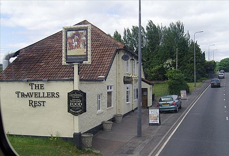
Belluton is a village in Somerset, England. It is in the district of Bath and North East Somerset and is located due south of the city of Bristol and due west of the city of Bath. The eastern end of the village is defined by the A37 road. In some documents it is alternatively called "Belton", which signifies, according to some antiquaries, "Baal town," or "the Town of the Sun". According to Robinson it was called Belgetona in the 1086 Domesday Book, and the name comes from the Old English belgae and tun, the Belgae being a violent race who settled in what is now Wiltshire.It is close to the route of the ancient Wansdyke.
Excerpt from the Wikipedia article Belluton (License: CC BY-SA 3.0, Authors, Images).Belluton
Pensford Hill, Bristol
Geographical coordinates (GPS) Address Nearby Places Show on map
Geographical coordinates (GPS)
| Latitude | Longitude |
|---|---|
| N 51.3773 ° | E -2.5525 ° |
Address
Pensford Hill
BS39 4JG Bristol
England, United Kingdom
Open on Google Maps


