Rossmore, New South Wales
Camden Council (New South Wales)City of Liverpool (New South Wales)Suburbs of SydneyUse Australian English from January 2012
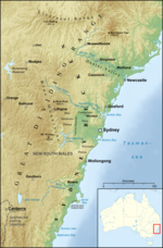
Rossmore is a suburb of Sydney, in the state of New South Wales, Australia. It is bound to the east by Kemps Creek, the west by South Creek, the north by Fifteenth Avenue, and the south by Rileys Creek in the southwest and a non natural border from there. The main road through the centre of the suburb is Bringelly Road.
Excerpt from the Wikipedia article Rossmore, New South Wales (License: CC BY-SA 3.0, Authors).Rossmore, New South Wales
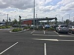
Bellevue Close, Sydney Rossmore
Geographical coordinates (GPS) Address Nearby Places Show on map
Geographical coordinates (GPS)
| Latitude | Longitude |
|---|---|
| N -33.9224 ° | E 150.76964 ° |
Address
Bellevue Close
Bellevue Close
2556 Sydney, Rossmore
New South Wales, Australia
Open on Google Maps


