Whyteleafe
Civil parishes in SurreyTandridgeVillages in Surrey

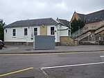
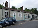
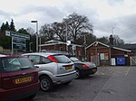
Whyteleafe is a village in the district of Tandridge, Surrey, England, with a few streets falling inside the London Borough of Croydon. The village, in a dry valley of the North Downs, has three railway stations (on two parallel lines). Neighbouring villages and towns include Woldingham, Caterham, Coulsdon, Warlingham, and Kenley. To the west are Kenley Aerodrome, Kenley Common (owned by the Corporation), Coxes Wood, and Blize Wood. To the east are Riddlesdown, the Dobbin and Marden Park. The churchyard contains graves of airmen who died during WWII, stationed at RAF Kenley nearby. The village forms part of the Greater London Built-up Area.
Excerpt from the Wikipedia article Whyteleafe (License: CC BY-SA 3.0, Authors, Images).Whyteleafe
Whytebeam View,
Geographical coordinates (GPS) Address Nearby Places Show on map
Geographical coordinates (GPS)
| Latitude | Longitude |
|---|---|
| N 51.3088 ° | E -0.0833 ° |
Address
Whytebeam View
Whytebeam View
CR3 0AU , Whyteleafe
England, United Kingdom
Open on Google Maps


