Ossington Avenue
Roads in Toronto

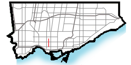
Ossington Avenue is a main or arterial street in Toronto, Ontario, Canada, west of downtown. Its southern terminus, popularly known as the Ossington Strip, a 560m segment constructed in 1816 to link two longer segments of a military road, was absorbed into the arterial after a century of independent existence. The consequence is a powerfully distinct identity for the Ossington Strip, a leading Toronto destination for pedestrianism, nightlife, dining, music, and shopping; in contrast, the remaining 3 km of Ossington Avenue is residential.
Excerpt from the Wikipedia article Ossington Avenue (License: CC BY-SA 3.0, Authors, Images).Ossington Avenue
Ossington Avenue, Toronto
Geographical coordinates (GPS) Address Nearby Places Show on map
Geographical coordinates (GPS)
| Latitude | Longitude |
|---|---|
| N 43.65583 ° | E -79.42325 ° |
Address
Ossington Avenue 499
M6J 3A5 Toronto
Ontario, Canada
Open on Google Maps


