Vír
Villages in Žďár nad Sázavou DistrictVysočina Region geography stubs

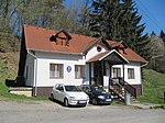
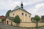
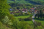
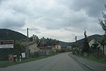
Vír (German: Wühr) is a municipality and village in Žďár nad Sázavou District in the Vysočina Region of the Czech Republic. It has about 700 inhabitants. It lies on the Svratka River. Vír lies approximately 28 kilometres (17 mi) east of Žďár nad Sázavou, 56 kilometres (35 mi) east of Jihlava, and 149 kilometres (93 mi) south-east of Prague.
Excerpt from the Wikipedia article Vír (License: CC BY-SA 3.0, Authors, Images).Vír
388, okres Žďár nad Sázavou
Geographical coordinates (GPS) Address Nearby Places Show on map
Geographical coordinates (GPS)
| Latitude | Longitude |
|---|---|
| N 49.5575 ° | E 16.323611111111 ° |
Address
388
592 66 okres Žďár nad Sázavou, Vír
Czechia
Open on Google Maps


