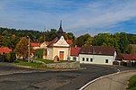
Horní Poříčí (Strakonice District)
South Bohemian Region geography stubsVillages in Strakonice District

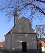
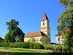
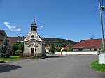
Horní Poříčí is a municipality and village in Strakonice District in the South Bohemian Region of the Czech Republic. It has about 300 inhabitants. Horní Poříčí lies approximately 10 kilometres (6 mi) west of Strakonice, 62 km (39 mi) north-west of České Budějovice, and 100 km (62 mi) south-west of Prague.
Excerpt from the Wikipedia article Horní Poříčí (Strakonice District) (License: CC BY-SA 3.0, Authors, Images).Horní Poříčí (Strakonice District)
okres Strakonice
Geographical coordinates (GPS) Address Nearby Places Show on map
Geographical coordinates (GPS)
| Latitude | Longitude |
|---|---|
| N 49.286111111111 ° | E 13.782777777778 ° |
Address
26
386 01 okres Strakonice
Southwest, Czechia
Open on Google Maps
