Trinity Street, Cambridge

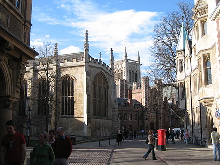
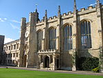
Trinity Street (formerly the High Street) is a street in central Cambridge, England. The street continues north as St John's Street, and south as King's Parade and then Trumpington Street. The street is named after Trinity College, which is on its west side. Also on the street, just to the south, is Gonville and Caius College. St Michael's and St Mary's Courts in Gonville and Caius lie across Trinity Street on land surrounding St Michael's Church. St Michael's Court was completed in the 1930s when its south side was built. Trinity Lane leads off Trinity Street to the west, between Trinity College and Gonville and Caius, turning south around the back of Gonville and Caius, which leads to Trinity Hall and Clare College.
Excerpt from the Wikipedia article Trinity Street, Cambridge (License: CC BY-SA 3.0, Authors, Images).Trinity Street, Cambridge
Trinity Street, Cambridge Newnham
Geographical coordinates (GPS) Address Nearby Places Show on map
Geographical coordinates (GPS)
| Latitude | Longitude |
|---|---|
| N 52.2063 ° | E 0.1182 ° |
Address
Sweaty Betty
Trinity Street 38
CB2 1TB Cambridge, Newnham
England, United Kingdom
Open on Google Maps


