Piñuécar-Gandullas
Madrid geography stubsMunicipalities in the Community of MadridPages with Spanish IPA

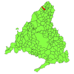
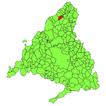
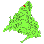
Piñuécar-Gandullas (Spanish pronunciation: [piˈɲwekaɾ ɣanˈduʎas]) is a municipality of the Community of Madrid, Spain.
Excerpt from the Wikipedia article Piñuécar-Gandullas (License: CC BY-SA 3.0, Authors, Images).Piñuécar-Gandullas
Calle Real, Piñuécar-Gandullas
Geographical coordinates (GPS) Address Nearby Places Show on map
Geographical coordinates (GPS)
| Latitude | Longitude |
|---|---|
| N 41.0125 ° | E -3.6019 ° |
Address
Calle Real
Calle Real
28737 Piñuécar-Gandullas
Community of Madrid, Spain
Open on Google Maps


