Central Sava Valley
Historical regions in SloveniaSava basinSlovenia geography stubsValleys of Slovenia

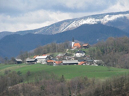
The Central Sava Valley (Slovene: Zasavje) is a valley in the Sava Hills and a geographic region along the Sava in central Slovenia, now constituting the Central Sava Statistical Region. The region consists of three municipalities: Zagorje ob Savi, Trbovlje, and Hrastnik. Several coal mines operated in the Central Sava Valley, although all except the Trbovlje–Hrastnik Mine are now defunct. It is surrounded by the Sava Hills, with Kum (1,220 metres or 4,000 feet) on the right side of the Sava and Black Peak (1,204 metres or 3,950 feet) on Čemšenik Pasture at the left side of the Sava, as its highest peaks.
Excerpt from the Wikipedia article Central Sava Valley (License: CC BY-SA 3.0, Authors, Images).Central Sava Valley
Šklendrovec, Upravna Enota Litija
Geographical coordinates (GPS) Address Nearby Places Show on map
Geographical coordinates (GPS)
| Latitude | Longitude |
|---|---|
| N 46.0799 ° | E 15.007325 ° |
Address
Sv. Lenart
Šklendrovec
1414 Upravna Enota Litija
Slovenia
Open on Google Maps


