Aiguillon (Cèze)
France river stubsOccitania (administrative region) geography stubsRivers of FranceRivers of GardRivers of Occitania (administrative region) ... and 1 more
Tributaries of the Rhône

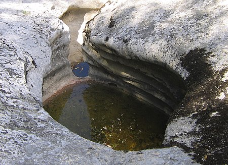
The Aiguillon is a river in southern France, a tributary of the Cèze. It is 22 km (14 mi) long. It is the departments of Gard, in the Occitanie region. The source of the Aiguillon is on Mont Bouquet, west of Lussan. It flows through Lussan, Les Concluses, Goussargues where it joined by the Merderis and it flows into the Cèze upstream of La Roque-sur-Cèze.
Excerpt from the Wikipedia article Aiguillon (Cèze) (License: CC BY-SA 3.0, Authors, Images).Aiguillon (Cèze)
Chemin du Moulin Bès, Nîmes
Geographical coordinates (GPS) Address Nearby Places Show on map
Geographical coordinates (GPS)
| Latitude | Longitude |
|---|---|
| N 44.1951 ° | E 4.484 ° |
Address
Chemin du Moulin Bès
Chemin du Moulin Bès
30630 Nîmes
Occitania, France
Open on Google Maps


