Lindern, Oslo
Neighbourhoods of OsloOslo geography stubs

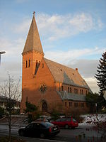
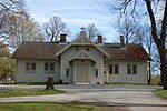
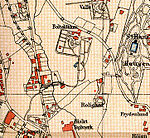
Lindern is an area in the borough St. Hanshaugen in Oslo, Norway. Originally farmland in the former municipality Aker, the southern part was incorporated into Christiania city in 1858 and the northern part in 1948. The Norwegian School of Veterinary Science is located at Lindern.
Excerpt from the Wikipedia article Lindern, Oslo (License: CC BY-SA 3.0, Authors, Images).Lindern, Oslo
Fayes gate, Oslo St. Hanshaugen
Geographical coordinates (GPS) Address Nearby Places Show on map
Geographical coordinates (GPS)
| Latitude | Longitude |
|---|---|
| N 59.934166666667 ° | E 10.741666666667 ° |
Address
Fayes gate 14
0455 Oslo, St. Hanshaugen
Norway
Open on Google Maps


