Vosges
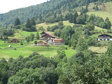
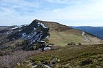
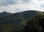
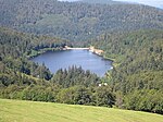
The Vosges ( VOHZH, French: [voʒ] ; German: Vogesen [voˈɡeːzn̩] ; Franconian and Alemannic German: Vogese) are a range of medium mountains in Eastern France, near its border with Germany. Together with the Palatine Forest to the north on the German side of the border, they form a single geomorphological unit and low mountain range of around 8,000 km2 (3,100 sq mi) in area. It runs in a north-northeast direction from the Burgundian Gate (the Belfort–Ronchamp–Lure line) to the Börrstadt Basin (the Winnweiler–Börrstadt–Göllheim line), and forms the western boundary of the Upper Rhine Plain. The Grand Ballon is the highest peak at 1,424 m (4,672 ft), followed by the Storkenkopf (1,366 m, 4,482 ft), and the Hohneck (1,364 m, 4,475 ft).
Excerpt from the Wikipedia article Vosges (License: CC BY-SA 3.0, Authors, Images).Vosges
Chemin de Huss, Colmar-Ribeauvillé
Geographical coordinates (GPS) Address Nearby Places Show on map
Geographical coordinates (GPS)
| Latitude | Longitude |
|---|---|
| N 48 ° | E 7 ° |
Address
Chemin de Huss
Chemin de Huss
68380 Colmar-Ribeauvillé
Grand Est, France
Open on Google Maps
