Greenheys, Manchester
Areas of ManchesterGreater Manchester geography stubsUse British English from February 2021

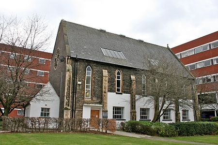
Greenheys is an inner-city area of south Manchester, England, lying between Hulme to the north and west, Chorlton-on-Medlock to the east and Moss Side to the south. Elizabeth Gaskell's first novel, Mary Barton, published in 1848, opens with a description of Greenheys, then still a rural area on the outskirts of the city. The writer Thomas De Quincey and pioneer socialist Robert Owen both lived at Greenheys House, overlooking the now culverted Cornbrook river.Manchester Science Park is here, on Pencroft Way, Lloyd Street North.
Excerpt from the Wikipedia article Greenheys, Manchester (License: CC BY-SA 3.0, Authors, Images).Greenheys, Manchester
Charles Halle Road, Manchester Moss Side
Geographical coordinates (GPS) Address Nearby Places Show on map
Geographical coordinates (GPS)
| Latitude | Longitude |
|---|---|
| N 53.4621 ° | E -2.2404 ° |
Address
Holy Name Primary School
Charles Halle Road
M14 4GF Manchester, Moss Side
England, United Kingdom
Open on Google Maps


