Collao
Asturias geography stubsParishes in Siero

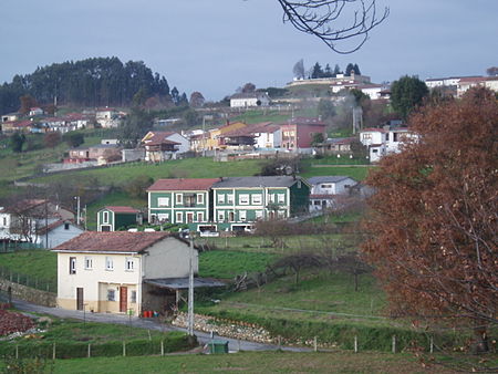
Collao is a parish (administrative division) in Siero, a municipality within the province and autonomous community of Asturias, in northern Spain. The parish is located on Highway AS-113. It is 0.27 km2 (0.10 sq mi) in size, and is situated at an elevation of 230 m (750 ft) above sea level. The population is 488 (INE 2006). The postal code is 33518. Collao and other nearby parishes, such as Lieres and Carbayín, are historically associated with Andalusian mining.
Excerpt from the Wikipedia article Collao (License: CC BY-SA 3.0, Authors, Images).Collao
Cangas de Onís
Geographical coordinates (GPS) Address Nearby Places Show on map
Geographical coordinates (GPS)
| Latitude | Longitude |
|---|---|
| N 43.383333333333 ° | E -5.05 ° |
Address
Cangas de Onís
Asturias, Spain
Open on Google Maps


