Jurong Road
Infobox road instances in SingaporeInfobox road maps tracking categoryJurong EastJurong WestRoads in Singapore

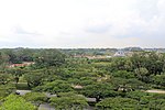
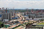
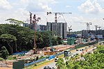
Jurong Road (Chinese: 裕廊路) was a road in western Singapore. It was the oldest road in Jurong area, having been first constructed between 1852 and 1853 during the early British colonial period to create a proper road link between the rural areas of Jurong and the rest of Singapore. During its peak, it was a major road spanning between Bukit Timah Road and Tuas Village. However, as more roads were constructed, and as sections of the road were closed or renamed, the road's span was reduced to a small stretch along the PIE near Tengah, before its final closure in 2020.
Excerpt from the Wikipedia article Jurong Road (License: CC BY-SA 3.0, Authors, Images).Jurong Road
Jurong Road, Singapore Tengah (Southwest)
Geographical coordinates (GPS) Address Nearby Places Show on map
Geographical coordinates (GPS)
| Latitude | Longitude |
|---|---|
| N 1.3546431 ° | E 103.7269121 ° |
Address
Jurong Road
Jurong Road
640410 Singapore, Tengah (Southwest)
Singapore
Open on Google Maps


