Bowden development

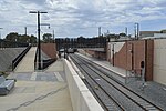
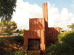
The Bowden development is an urban development in the Australian state of South Australia on a site formerly owned by the Clipsal corporation in the suburb of Bowden, within the City of Charles Sturt, in the Adelaide metropolitan area 2 kilometres from the city centre. The site covers an area of 10.25 hectares (25.3 acres) and is bounded by Park Terrace to the south, the Outer Harbor railway line to the west, Drayton Street to the north and Sixth and Seventh Streets to the east. The Government also acquired the adjoining 5.9-hectare site which had been owned by Origin Energy (known as the Brompton Gasworks site). Currently the overall Bowden development site is 16.3 hectares.The development is expected to be completed by 2020 to 2025. The development is expected to increase the population of Bowden, which was 648 in the 2006 census, to 3,500.
Excerpt from the Wikipedia article Bowden development (License: CC BY-SA 3.0, Authors, Images).Bowden development
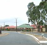
Eleventh Street, Adelaide Bowden
Geographical coordinates (GPS) Address Nearby Places Show on map
Geographical coordinates (GPS)
| Latitude | Longitude |
|---|---|
| N -34.902 ° | E 138.582 ° |
Address
Eleventh Street
Eleventh Street
5007 Adelaide, Bowden
South Australia, Australia
Open on Google Maps


