Ith
Central UplandsClimbing areas of GermanyCommons link is defined as the pagenameGeography of Lower SaxonyNatural regions of the Weser-Leine Uplands ... and 3 more
Nature reserves in Lower SaxonyPages including recorded pronunciationsPages with German IPA

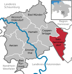
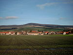
The Ith (German: [iːt] ) is a ridge in Germany's Central Uplands which is up to 439 m high. It lies about 40 km southwest of Hanover and, at 22 kilometres, is the longest line of crags in North Germany.
Excerpt from the Wikipedia article Ith (License: CC BY-SA 3.0, Authors, Images).Ith
Eschenweg,
Geographical coordinates (GPS) Address Nearby Places Show on map
Geographical coordinates (GPS)
| Latitude | Longitude |
|---|---|
| N 52.05 ° | E 9.56667 ° |
Address
Jungfernstein
Eschenweg
31020
Lower Saxony, Germany
Open on Google Maps
