Ratley
Stratford-on-Avon DistrictVillages in Warwickshire

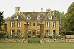
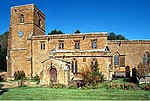
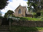
Ratley is a village in the civil parish of Ratley and Upton, Stratford-on-Avon District, Warwickshire, England. The population of the civil parish in 2011 was 327. It is on the northwest side of the Edge Hill escarpment about 200 metres (660 ft) above sea level. The village is close to the county border with north Oxfordshire, some 7 miles northwest of Banbury, the closest town.
Excerpt from the Wikipedia article Ratley (License: CC BY-SA 3.0, Authors, Images).Ratley
Stratford-on-Avon Ratley and Upton CP
Geographical coordinates (GPS) Address Nearby Places Show on map
Geographical coordinates (GPS)
| Latitude | Longitude |
|---|---|
| N 52.1236 ° | E -1.44345 ° |
Address
OX15 6DR Stratford-on-Avon, Ratley and Upton CP
England, United Kingdom
Open on Google Maps


