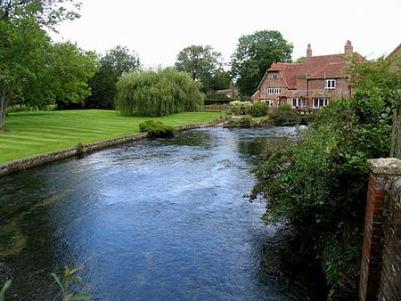
Boxford, Berkshire
Civil parishes in BerkshireEngvarB from September 2013Villages in BerkshireWest Berkshire District

Boxford is a village and civil parish in the unitary authority of West Berkshire, England. The village is on the east bank of the River Lambourn, about 4 miles (6.4 km) northwest of Newbury but south of the M4 motorway. The hamlet of Westbrook is on the opposite bank of the Berkshire Downs tributary.
Excerpt from the Wikipedia article Boxford, Berkshire (License: CC BY-SA 3.0, Authors, Images).Boxford, Berkshire
Winterbourne Road,
Geographical coordinates (GPS) Address Nearby Places Show on map
Geographical coordinates (GPS)
| Latitude | Longitude |
|---|---|
| N 51.441 ° | E -1.38 ° |
Address
Winterbourne Road
Winterbourne Road
RG20 8DR , Boxford
England, United Kingdom
Open on Google Maps


