Charlestown, Derbyshire
Derbyshire geography stubsHigh Peak, DerbyshireTowns and villages of the Peak DistrictUse British English from February 2016Villages in Derbyshire

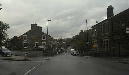
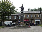
Charlestown is a village in Glossopdale, Derbyshire, England. It is in the Simmondley Ward of the High Peak District Council. The village is situated on the A624 road between Glossop and Hayfield.
Excerpt from the Wikipedia article Charlestown, Derbyshire (License: CC BY-SA 3.0, Authors, Images).Charlestown, Derbyshire
Turnlee Road, High Peak Charlestown
Geographical coordinates (GPS) Address Nearby Places Show on map
Geographical coordinates (GPS)
| Latitude | Longitude |
|---|---|
| N 53.4326 ° | E -1.9504 ° |
Address
Turnlee Road
Turnlee Road
SK13 8LD High Peak, Charlestown
England, United Kingdom
Open on Google Maps


