Okanagan—Revelstoke
British Columbia geography stubsFormer federal electoral districts of British Columbia
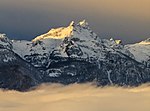
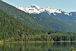
Okanagan—Revelstoke was a federal electoral district in British Columbia, Canada, that was represented in the House of Commons of Canada from 1953 to 1968. This riding was created in 1952 from parts of Kamloops and Yale ridings. It was abolished in 1966 when it was redistributed into Kootenay West, Okanagan Boundary and Okanagan—Kootenay ridings.
Excerpt from the Wikipedia article Okanagan—Revelstoke (License: CC BY-SA 3.0, Authors).Okanagan—Revelstoke
Area B (Shelter Bay/Mica Creek)
Geographical coordinates (GPS) Address Nearby Places Show on map
 Continue reading on Wikipedia
 Geographical coordinates (GPS)
| Latitude | Longitude |
|---|---|
| N 50.906 ° | E -118.297 ° |
Address
Area B (Shelter Bay/Mica Creek)
V0E 2S0 Area B (Shelter Bay/Mica Creek)
British Columbia, Canada
Open on Google Maps