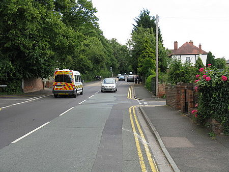
Red Hill, Worcester
Geography of Worcester, EnglandHistory of Worcester, England

Red Hill is an area of Worcester, Worcestershire, England. It is in the south-east of the city on the A44. It has historically been used as high ground to attack the city and as a place of execution.
Excerpt from the Wikipedia article Red Hill, Worcester (License: CC BY-SA 3.0, Authors, Images).Red Hill, Worcester
Whittington Gate, Worcester, England Nunnery Wood
Geographical coordinates (GPS) Address Nearby Places Show on map
Geographical coordinates (GPS)
| Latitude | Longitude |
|---|---|
| N 52.1813 ° | E -2.193 ° |
Address
Whittington Gate
Whittington Gate
WR5 2AY Worcester, England, Nunnery Wood
England, United Kingdom
Open on Google Maps


