Downham, Lancashire
Civil parishes in LancashireForest of BowlandGeography of Ribble ValleyUse British English from April 2015Villages in Lancashire

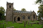
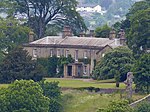
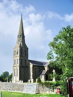
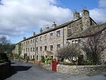
Downham is a village and civil parish in Lancashire, England. It is in the Ribble Valley district and at the United Kingdom 2001 census had a population of 156. The 2011 Census includes neighbouring Twiston giving a total for both parishes of 214. The village is on the north side of Pendle Hill off the A59 road about 3 miles (4.8 km) from Clitheroe. Much of the parish, including the village is part of the Forest of Bowland Area of Outstanding Natural Beauty (AONB). It adjoins the Ribble Valley parishes of Rimington, Twiston, Worston, Chatburn and Sawley, and the Pendle parish of Barley-with-Wheatley Booth.
Excerpt from the Wikipedia article Downham, Lancashire (License: CC BY-SA 3.0, Authors, Images).Downham, Lancashire
Brookside, Ribble Valley Downham
Geographical coordinates (GPS) Address Nearby Places Show on map
Geographical coordinates (GPS)
| Latitude | Longitude |
|---|---|
| N 53.893 ° | E -2.327 ° |
Address
Brookside
Brookside
BB7 4BR Ribble Valley, Downham
England, United Kingdom
Open on Google Maps


