Claydon, Oxfordshire
Cherwell DistrictFormer civil parishes in OxfordshireUse British English from August 2015Villages in Oxfordshire

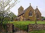
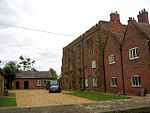
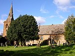
Claydon is a village and former civil parish, now in Claydon with Clattercot, in the Cherwell district, in Oxfordshire, England. The village is about 6 miles (10 km) north of Banbury and about 417 feet (127 m) above sea level on a hill of Early Jurassic Middle Lias clay.The village is the northernmost settlement in Oxfordshire and as such is also the northernmost settlement in the entire South East England region. The parish is bounded by Warwickshire to the west and Northamptonshire to the east. The 2011 Census recorded the parish's population as 306.
Excerpt from the Wikipedia article Claydon, Oxfordshire (License: CC BY-SA 3.0, Authors, Images).Claydon, Oxfordshire
Main Street, Cherwell District Claydon with Clattercot
Geographical coordinates (GPS) Address Nearby Places Show on map
Geographical coordinates (GPS)
| Latitude | Longitude |
|---|---|
| N 52.147 ° | E -1.333 ° |
Address
Main Street
Main Street
OX17 1EZ Cherwell District, Claydon with Clattercot
England, United Kingdom
Open on Google Maps


