Pays de Retz
Geographical, historical and cultural regions of FranceGeography of BrittanyGilles de RaisHistory of BrittanyLoire-Atlantique geography stubs ... and 1 more
Pages with French IPA

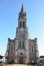
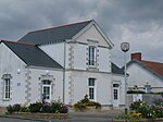
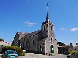
The Pays de Retz (French pronunciation: [pei də ʁɛ]; Breton: Bro-Raez; lit. 'Land of Retz') is a historical subregion of France that currently forms part of the Loire-Atlantique department, but once formed part of the Duchy of Brittany. The area lies between the southern shore of the Loire estuary and the Marais breton (Breton marshlands), bordered to the west by the Baie de Bourgneuf (Bourgneuf Bay) and on the east by the Lac de Grand-Lieu (Grand-Lieu Lake) and a network of small rivers. Its main towns are Rezé (which was its capital and the see of a Catholic Diocese of Rezé from 510 to 851), Pornic, Paimbœuf and Machecoul (another historical capital city).
Excerpt from the Wikipedia article Pays de Retz (License: CC BY-SA 3.0, Authors, Images).Pays de Retz
Nantes
Geographical coordinates (GPS) Address Nearby Places Show on map
Geographical coordinates (GPS)
| Latitude | Longitude |
|---|---|
| N 47.08 ° | E -1.78 ° |
Address
44680 Nantes
Pays de la Loire, France
Open on Google Maps


