La Ruinette
Alpine three-thousandersMountains of SwitzerlandMountains of ValaisMountains of the AlpsThree-thousanders of Switzerland ... and 1 more
Valais geography stubs

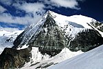
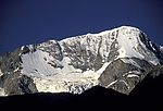
La Ruinette is a mountain of the Swiss Pennine Alps, overlooking the Lake of Mauvoisin in the canton of Valais. With an altitude of 3,875 metres above sea level, it is the highest summit between the Grand Combin and the Dent Blanche. La Ruinette lies close to the better known Mont Blanc de Cheilon which has almost the same height (3,870 m).
Excerpt from the Wikipedia article La Ruinette (License: CC BY-SA 3.0, Authors, Images).La Ruinette
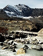
Pont du Lancet, Val de Bagnes
Geographical coordinates (GPS) Address External links Nearby Places Show on map
Geographical coordinates (GPS)
| Latitude | Longitude |
|---|---|
| N 45.979111111111 ° | E 7.4003611111111 ° |
Address
La Ruinette
Pont du Lancet
1934 Val de Bagnes
Wallis, Switzerland
Open on Google Maps


