Multnomah Creek
Columbia River GorgeHistoric Columbia River HighwayMount Hood National ForestRivers of OregonWaterfalls of Multnomah County, Oregon
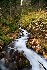
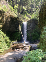
Multnomah Creek is a 5-mile-long (8.0 km) stream in northern Oregon. Multnomah Creek's source is on Larch Mountain in the Mount Hood National Forest and its waters flow north to the Columbia River Gorge, over Multnomah Falls into Benson Lake and then the Columbia River. The waterfall is accessible from the Historic Columbia River Highway and Interstate 84. The two drop waterfall is the tallest in the state of Oregon at 620 ft (189 m) in height.
Excerpt from the Wikipedia article Multnomah Creek (License: CC BY-SA 3.0, Authors).Multnomah Creek
Wahkeena Trail #420,
Geographical coordinates (GPS) Address Nearby Places Show on map
Geographical coordinates (GPS)
| Latitude | Longitude |
|---|---|
| N 45.5775 ° | E -122.12055555556 ° |
Address
Benson State Recreation Area
Wahkeena Trail #420
97010
Oregon, United States
Open on Google Maps


